
GIS, Mapping & Spatial Intelligence
We provide comprehensive GIS services including district mapping, spatial analytics, drone-based surveys, population distribution mapping, boundary delineation, and infrastructure assessment. Our GIS solutions support urban planning, municipal governance, security coordination, environmental monitoring, and national data intelligence.
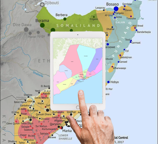
Key Features
Business Benefits
Our Process
A proven methodology that delivers results on time and within budget.
Discovery
We understand your needs, challenges, and objectives through in-depth consultations.
Planning
Our team designs a tailored solution roadmap with clear milestones and deliverables.
Development
We build your solution using agile methodologies with regular updates and feedback loops.
Delivery
Rigorous testing, deployment, training, and ongoing support ensure lasting success.
Related Services

Ready to Get Started?
Let's discuss how our GIS, Mapping & Spatial Intelligence can transform your operations and drive measurable results.