
Project Experience
National-scale transformation systems that strengthen governance, empower institutions, and improve the lives of citizens across Somalia.
Banadir District Elections
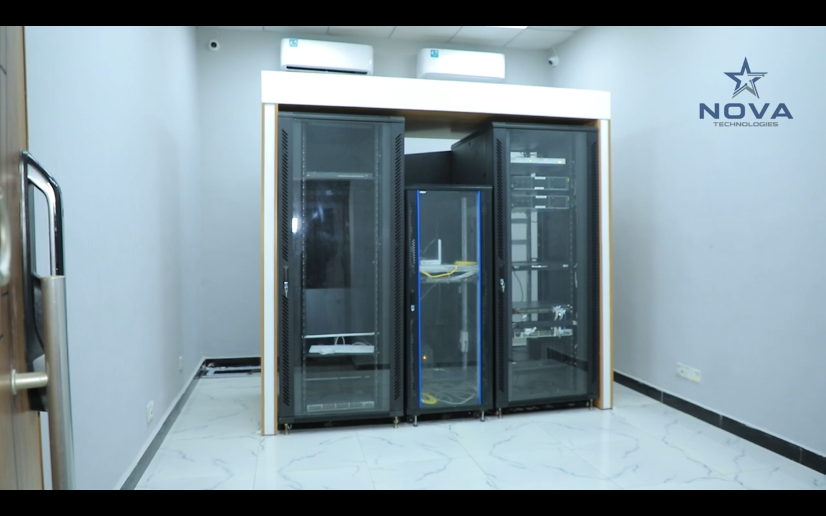
The Banadir District Elections (2025–2026) project implemented a comprehensive digital infrastructure to support secure, transparent, and efficient electoral operations for 923,220 registered voters in the Banadir region. NOVA provided the full technology backbone, including biometric voter registration and verification systems (BVRS & BVVS) to ensure accurate voter identification and prevent duplication. The project also deployed GIS-mapped polling and registration centers to improve planning and accessibility, alongside a candidate and association management system to streamline candidate administration. Operational processes were strengthened through logistics and asset management tools and real-time dashboards that enabled leadership to monitor election activities and performance. Additionally, a voter education ecosystem was introduced to increase public awareness and participation. All systems were supported by a central data center with hybrid cloud architecture and a disaster recovery (DR) site, ensuring reliability, data security, and continuous operation throughout the electoral process.

Land Management System (LMS)
The Land Management System (LMS) digitizes land administration by replacing manual processes with a modern platform that improves transparency, reduces disputes, and streamlines documentation. It provides transparent workflows, customer notifications, and dashboard insights to support faster service delivery and better decision-making. The system also supports effective urban planning and environmental management for sustainable development.
National Addressing System
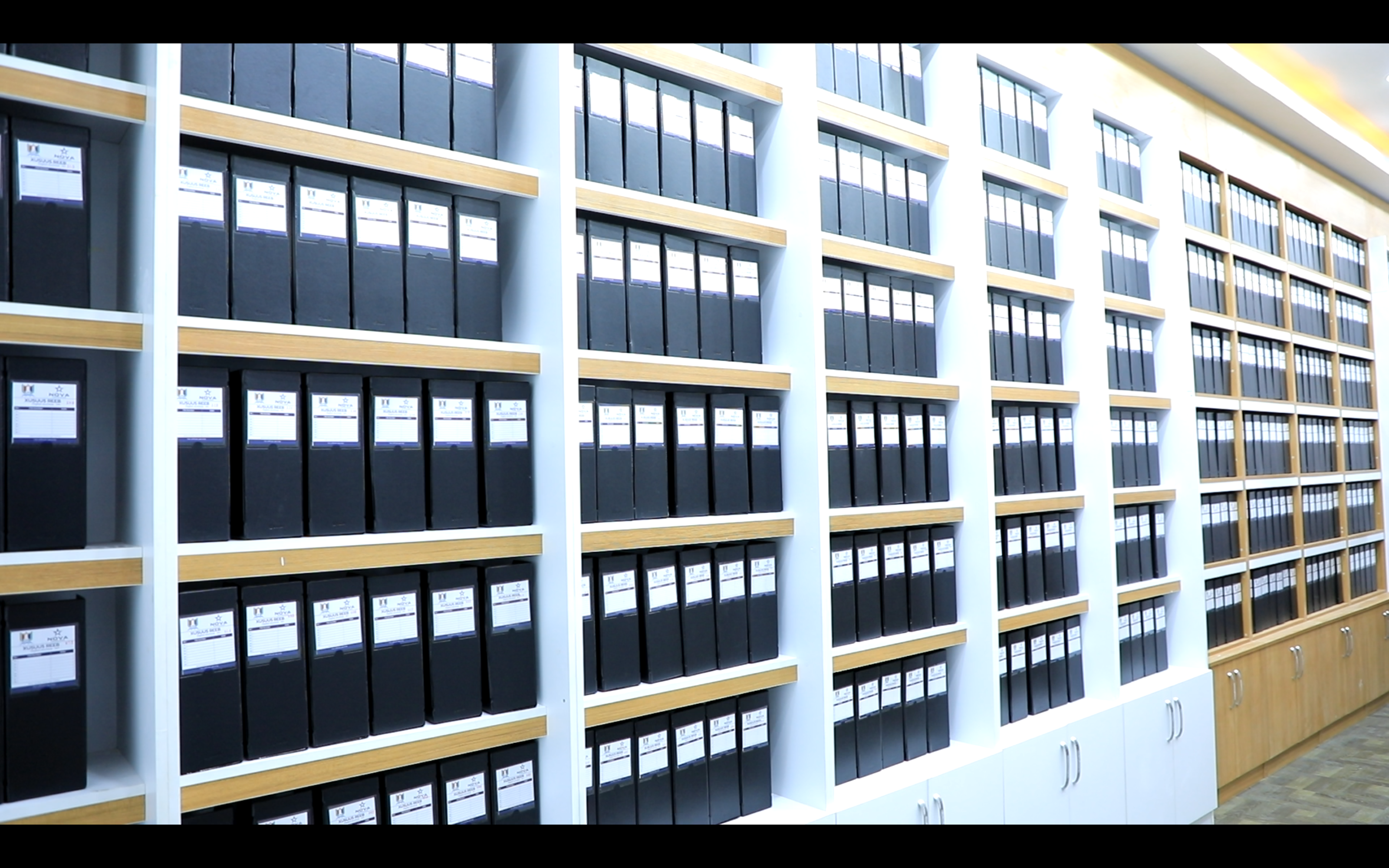
The National Addressing System developed by NOVA introduced the first standardized and comprehensive addressing framework for Mogadishu, aligned with international standards. The system organizes house numbering, street naming, lane and avenue classification, district and zone codes, and a national postcode architecture, creating a clear and structured location identification system across the city. By providing accurate and reliable addressing data, the system significantly improves emergency response services, urban planning and infrastructure development, e-commerce and logistics operations, security coordination, mobility, and efficient government service delivery, supporting the city's modernization and digital transformation.

GIS & Spatial Intelligence Projects
The GIS & Spatial Intelligence Projects provided critical geospatial datasets to support evidence-based planning and decision-making. The project delivered district boundary maps, population density analysis, infrastructure analytics, settlement classifications (formal and informal), IDP mapping, and road and street hierarchy data. These spatial datasets enable government institutions and stakeholders to improve urban planning, public service delivery, election planning, and sustainable development initiatives through accurate location-based insights.

Have a Similar Project?
Let's discuss how we can deliver the same level of excellence for your organization. From concept to deployment, we build systems that last.